Pony Hollow Trail
Elkader to Grape Rd
Cash and I walked the first part of the Pony Hollow Trail near Elkader, IA on 4-Jul-22. The was a flat well-maintained trail that started in Elkader and followed the Turkey River. We stopped at Grape Rd, but the trail continues along Roberts Creek. Details are below.
Walk-Specific Map
Take Note
- Click on a segment to get specific information.
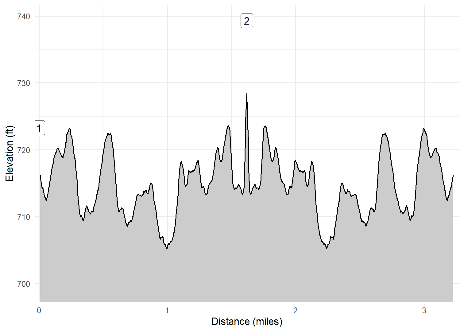
- Numeric labels correspond to the same labels in the elevation profile and summary information below.
Elevation Profile

Images
GPX Download
A sanitized GPX file of our hike is here.
Summary Information
| NUM | trackID | Primary | Description | Type | Owner | Distance | CumDist | DeltaElev |
|---|---|---|---|---|---|---|---|---|
| 1 | PNYH01 | Pony Hollow Tr | Grape Rd to South High St (Elkader) | Trail | Public | 1.62 | 1.62 | 16 |
| 2 | PNYH01 | Pony Hollow Tr | South High St (Elkader) to Grape Rd | Trail | Public | 1.62 | 3.24 | -16 |

